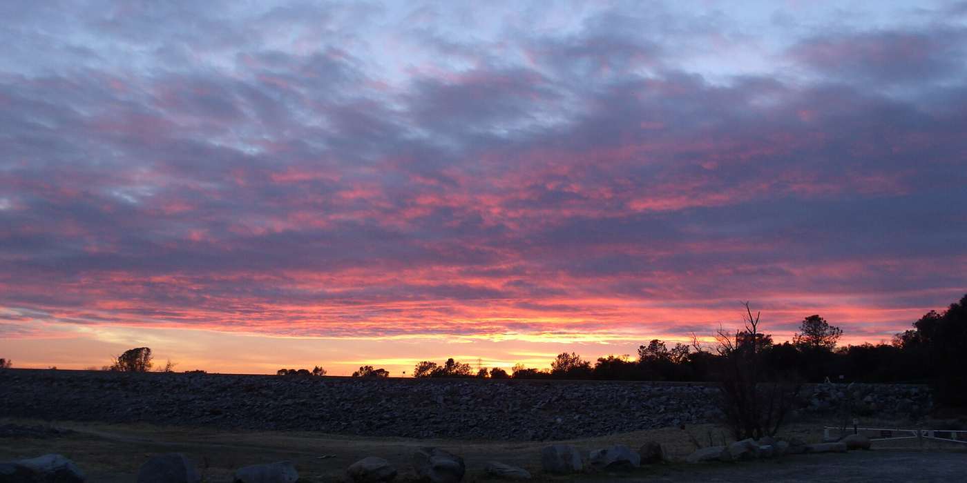
Big Lots, Old Oaks, and a Horse Arena in the Town Park
Turn off Greenback Lane onto almost any side street and you'll know you're in Orangevale, nowhere else. Front yards get deep, oaks lean over the road, a horse fence appears, and somebody's detached workshop is bigger than a city apartment.
The town park has an 18-hole disc golf course and a horse arena. Folsom Lake is just up the road.
If you've lived here for decades, you already know all this. You've been to the parade, you have a usual order at the DQ, and you probably call it "the Vale."
This guide is a love letter to that, written with longtime locals in mind, with some history, a few hidden gems and a calendar worth keeping.
If you're thinking about a move, whether from elsewhere in Sacramento, from the Bay Area or from out of state, it's an honest look at daily life, prices, schools, and what to check before you buy a half-acre and a dream.
SourcesOVparks · Wikipedia · U.S. Census · Peter Parker Team
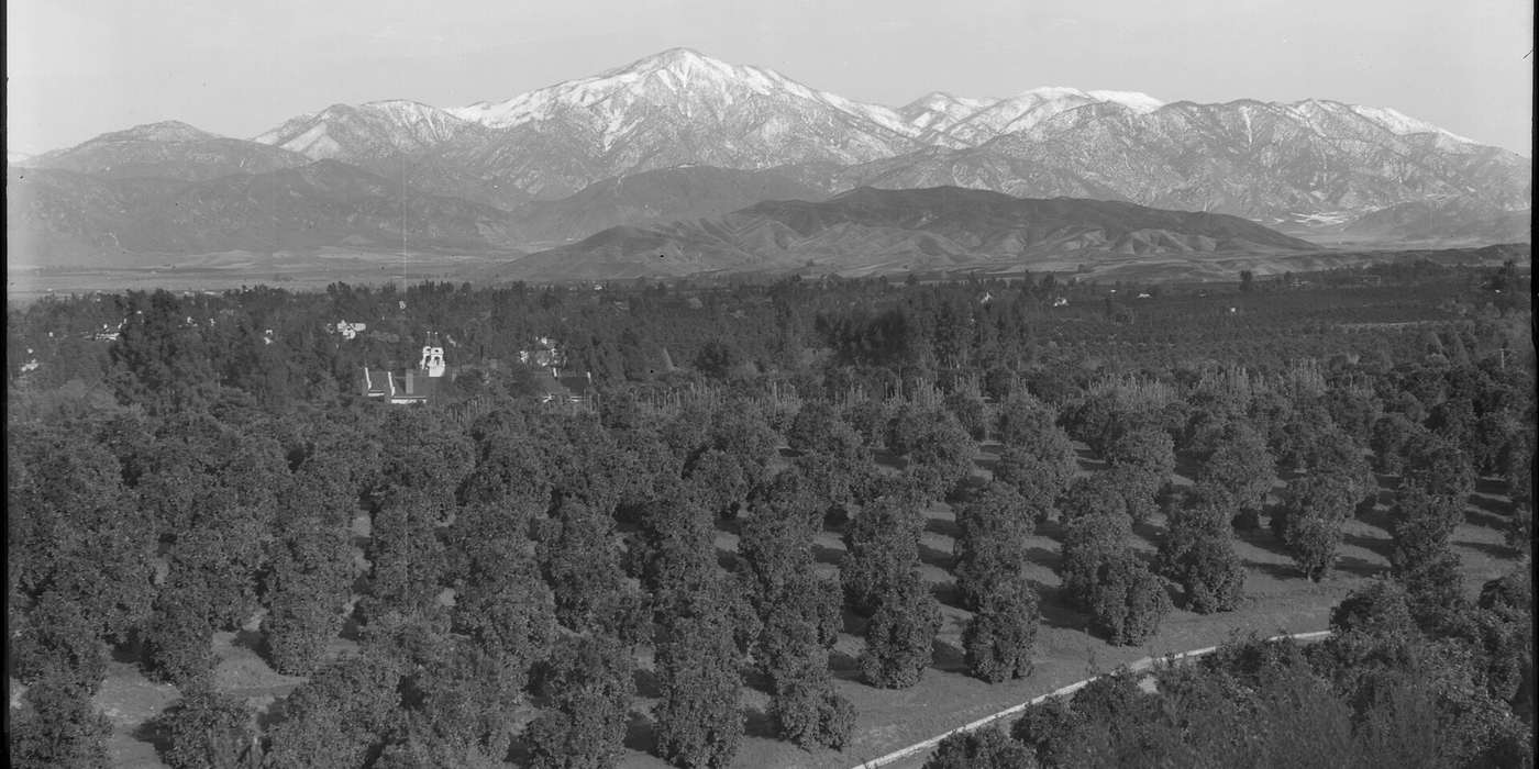
Where the orange groves were
A Little History
Orangevale began as a land-company dream of 10-acre orange ranches. A few dates tell the story.
- 1881
The Cardwell purchase
J.T. Cardwell bought 4,400 acres of the old Mexican-era Santa Juanita Grant for six dollars an acre. The land ran from today's Oak Avenue and Hazel Avenue south to the American River.
- 1887
A colony is born
Cardwell sold 2,220 acres to a group led by V. McClatchy, George S. Mott, Thomas B. Hall, P.C. Drescher and H. Weinstock. Some 36 Sacramento businessmen organized the Orangevale Company to sell small acreages to settlers, and Drescher named it the "Beautiful OrangeVale Colony."
- 1888
Ten-acre tracts
The Orange Vale Colonization Company bought the land and laid it out in ten-acre tracts. The first map was recorded on May 24, 1888, and that spring 130 acres were planted with fruit trees. Until pipes arrived in 1889, water was hauled from mining ditches in tanks pulled by four-horse teams.
- 1892
Selling the dream
A company map advertised Orange Vale as 3,200 acres of cultivated land in 312 ten-acre lots beside the American River, with a proposed town center.
- 1930s
The big freeze
A brutal winter killed nearly all the orange groves. The chamber dates it to 1930; the Sacramento Bee says 1932. Farming carried on, and "the Vale" grew slowly into the semi-rural community it is today, still holding on to its colony-era street names and big lots.
“Orange Vale gradually became known as Orangevale, although often referred to as "the Vale."”
Orangevale Chamber of Commerce
SourcesOrange Vale Water Co. · Orangevale Chamber · Calisphere, 1892 map · Sacramento Bee
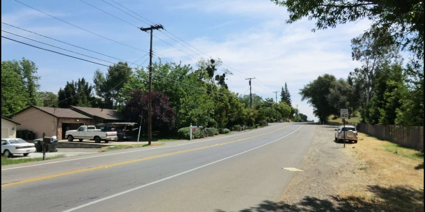
Country roads, suburban errands
Orangevale and Its Neighbors
The old colony streets
Filbert, Pecan, Almond and Hazel avenues are the historic heart of town. Original 10-acre colony parcels were later split, and half-acre lots are still common here (Peter Parker Team).
The rural-residential edge
The east side, toward Folsom and the lake, has larger parcels, barns, arenas and trail access. It's horse country.
Greenback Lane
The commercial spine, with groceries, diners, breweries, the Dairy Queen, and the route of the annual parade.
The Fair Oaks border
Orangevale and Fair Oaks are separate unincorporated communities that meet to the south, each with its own name and history. They share San Juan Unified schools and a few institutions, such as the Orangevale-Fair Oaks Food Bank (Folsom Times).
North of Greenback
Toward the Citrus Heights line you'll find more mid-market ranch homes on standard lots.
Homes & Prices
Orangevale is mostly single-family. The 2020 census counted 13,990 housing units, and 74% of occupied homes were owner-occupied (Wikipedia / U.S. Census). The classic home is a single-story 1960s–70s ranch on a generous lot, alongside custom homes and equestrian properties on half-acre to multi-acre parcels (Peter Parker Team).
"The median price" depends on who's counting and when. Here's the honest range:
Prices span a wide range. Small ranches can trade below the median, and horse properties and acreage near the lake trade well above it. Use these figures as context, not as a valuation.
Next step
Already own in Orangevale?
Curious what your home might be worth today?
SourcesRedfin · CA Housing Market News · Sotheby's · Cash For Houses CA
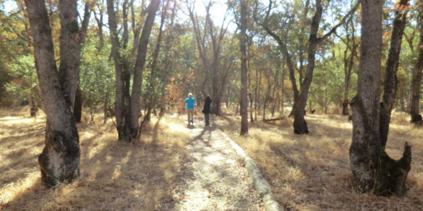
Seventy-six acres of oaks and trails
Parks, Trails & Hidden Gems
Orangevale's parks belong to Orangevale. They're run by the community's own elected Orangevale Recreation & Park District, not a city (OVparks).
Orangevale Community Park
At 76 acres, it's the town's backyard. It has the 18-hole Shady Oaks Disc Golf Course, tennis courts, a playground, picnic shelters, a horse arena with grandstand, and a natural area laced with equestrian and walking trails along two tributaries of Linda Creek. The main entrance is at 7301 Filbert Avenue (OVparks).
Folsom Lake State Recreation Area
About 19,500 acres around Folsom Lake and Lake Natoma, established in 1956 after Folsom Dam was built. Beals Point, at 7806 Auburn-Folsom Road, has a beach, day-use area and campground (Wikipedia · CA State Parks).
American River Parkway
A 32-mile ribbon of river parks. The paved Jedediah Smith Memorial Trail runs the whole way between Folsom and Discovery Park in Sacramento (Wikipedia).
Insider picks
Look for the "heritage" valley oaks in the park's northwest natural area (OVparks). Watch for the slip of irrigation history in the old mining ditches from Mississippi Bar that once watered the groves (Orangevale Chamber).
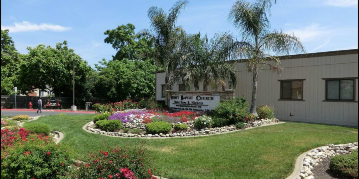
Small-town errands, local favorites
Eat, Shop & Linger
Greenback Lane
Orangevale's own main street, lined with long-running family businesses, with groceries, hardware, diners, taprooms and the town's beloved Dairy Queen (more on that below).
Locally owned staples
Local agents point to spots like Mode Brewing and Ashley's Country Kitchen on Greenback, and O'Connor's Wood Fire Grill and Manderes on Madison Avenue (Peter Parker Team). Check current hours before you go.
Nearby nights out
Fair Oaks Village and historic Folsom are a short drive for more dining.
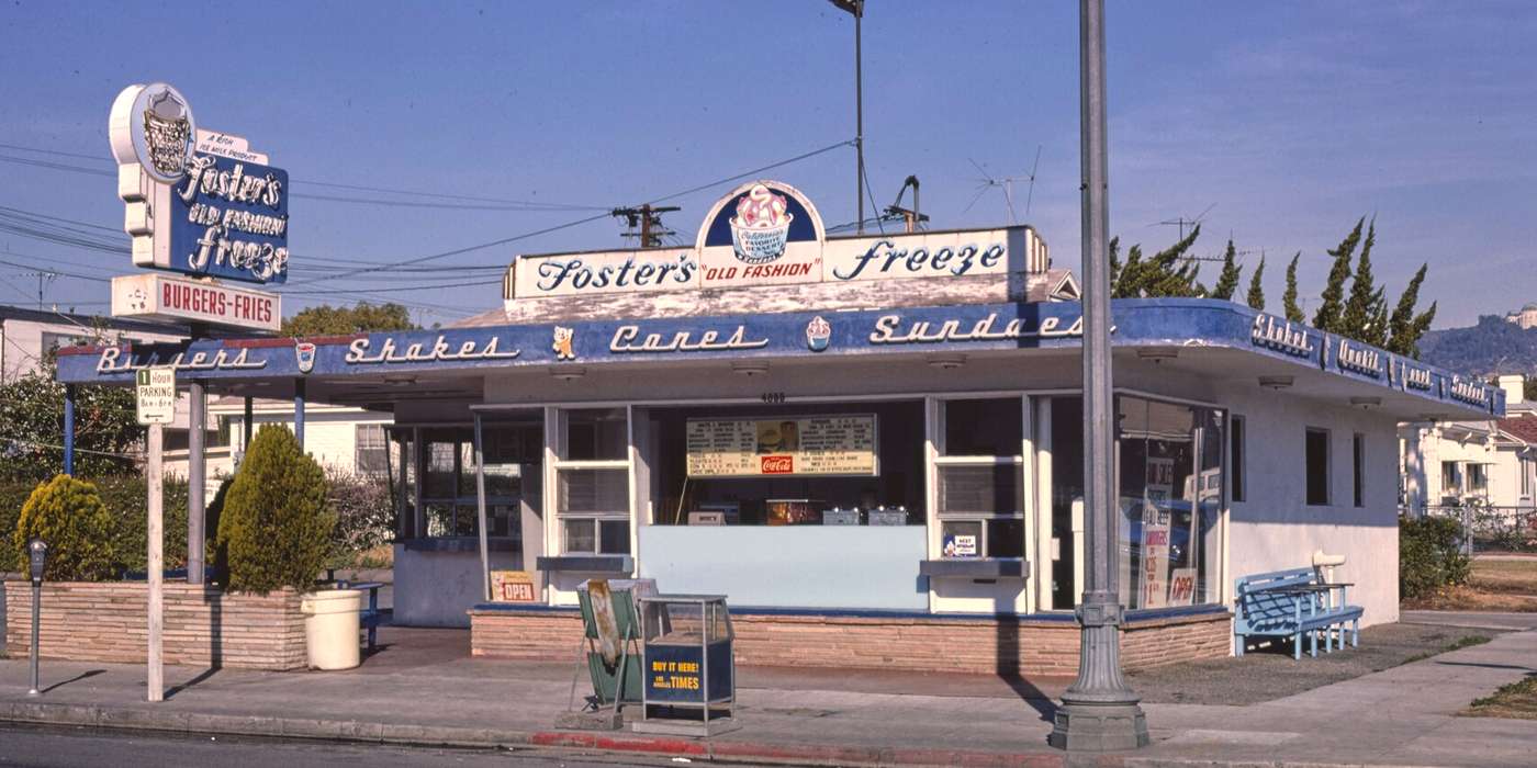
Soft-serve on Greenback, since before the DQ
Every small town has a place where the Little League team goes after a win. In Orangevale, for more than four decades, it's been the Dairy Queen on Greenback Lane (Folsom Times).
In 1982, Joe Ellering was a general contractor out of work in a slow economy, and the walk-up stand on Greenback Lane was still a Foster's Freeze. "I needed a job; they needed a manager, so I got hired." The owner was nearing retirement.
"I wasn't sure if I'd like it, but I do," Joe said. In 1988 the stand became a Dairy Queen. Business grew, and at one point Joe owned six Dairy Queens around the area. Then he gave them up to focus on just one: Orangevale's.
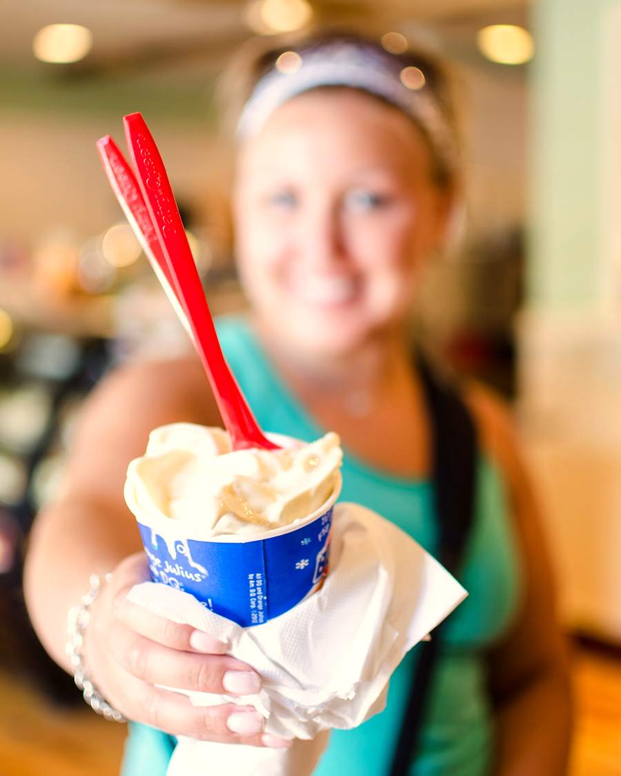
Orangevale is like a Midwest town - and that's what DQ's were made for.
Joe Ellering · Carmichael Times, 2020
In 2015, Joe drew on his contractor days to plan and oversee a remodel of the original building. He insisted on keeping the walk-up windows and the outdoor seating (Folsom Times).
Joe and his wife Cynthia, a retired court reporter, run it as a family business. For many Orangevale teens it's their first job. For everyone else it's where birthdays, report cards, team wins and car-club nights end up.
40+ years
On Greenback Lane under Joe and Cynthia Ellering, first as a Foster's Freeze and since 1988 as a Dairy Queen (Folsom Times).
$12,000+
Given each year through the Round Up campaign to local nonprofits, youth sports and the Orangevale-Fair Oaks Food Bank (Folsom Times).
2026
Named the 7th Assembly District's Small Business of the Month for September 2026 by Assemblyman Josh Hoover (AD07).
What we couldn't confirm: when the original Foster's Freeze first opened on this site.
Orangevale Institutions
Longtime locals will recognize every one of these. Each has been part of life in the Vale for generations.
Orangevale Library (since 1912)
It started in May 1912 with 100 books in Adelaide Morse's dining room on Walnut Avenue. After several moves and closures, residents kept rallying to save it. It has been in the Greenback Oaks center at 8820 Greenback Lane since 1986, and a 2021 renovation doubled its size (Sacramento Public Library).
Orangevale Grange (since 1910)
The Grange hall is at 5807 Walnut Avenue. The Grange says it helped bring electricity and telephone service to town, was the first donor toward the Hazel Avenue Youth Center land, and co-sponsored the return of the farmers market with the Dairy Queen. It still rents the hall and runs a community garden (Orangevale Grange).
The feed store at 8980 Greenback Lane (a feed store since 1956)
Ceccardi's Feed was a family business at this spot from 1956 until 1998, when it joined Western Feed & Pet Supply. It's still the place for hay, chicks and horse supplies (Western Feed · locations).
Orangevale Recreation & Park District
The community's own park district runs Orangevale Community Park, the horse arena and events like the Community Tree Lighting (OVparks). We couldn't confirm its founding year.
The Dairy Queen (since 1982 under the Ellerings)
See above.
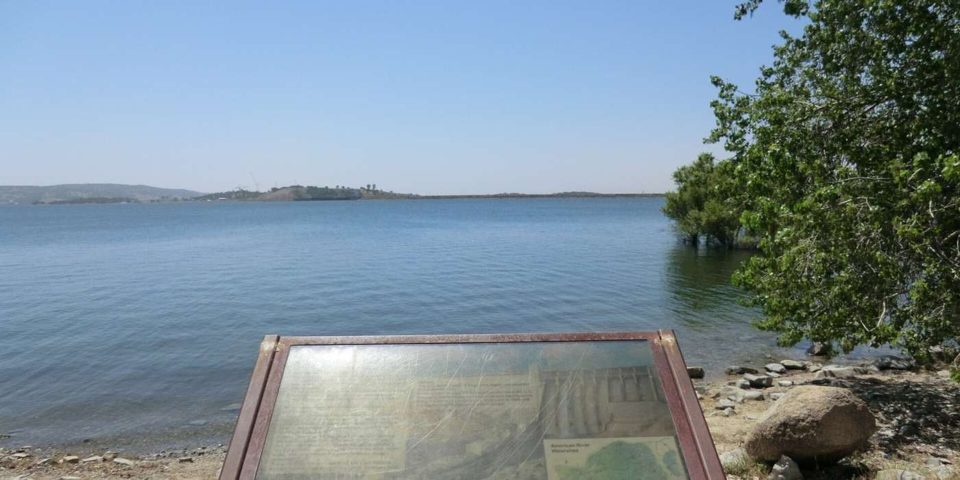
Summer lives at the lake
A Year in Orangevale
Spring
The oak woodlands green up, and the American River Parkway and Folsom Lake trails are at their best.
Late May: Summer Palooza
Orangevale's own hometown tradition, the town fair formerly known as Pow Wow Days (and the Orangevale Town Fair) traces its roots to 1963. In 2026 it ran May 29–31 at Orangevale Community Park, with the Red, White & Blue Parade down Greenback Lane. The 2027 parade is set for May 22 (Folsom Times · Summer Palooza).
Summer
Hot and dry, so locals head to Beals Point and Lake Natoma. Dining at Dairy Queen's outdoor tables is a summer-evening tradition.
Fall and winter
Cooler, quieter months on the trails, plus park-district events like the Community Tree Lighting and the Polar Bear Plunge (OVparks master plan).
Local tip: Parade morning closes Greenback Lane between Main and Filbert avenues for a few hours, so plan errands around it.
Getting Around
By car
Greenback Lane and Madison Avenue run east-west, and Hazel Avenue runs north-south toward Highway 50. Downtown Sacramento is about 25 miles away (Wikipedia). Folsom is next door. Test the drive at rush hour before you buy.
By light rail
The nearest station is SacRT's Hazel station on the Gold Line, on Folsom Boulevard at Rocket Circle in Gold River. It opened in 2005 and has 432 parking spaces. Most Orangevale riders drive there and park (Wikipedia · SacRT).
By bike
The American River Parkway's paved trail links the area to Folsom and downtown Sacramento.
How Orangevale Compares
Redfin's median sale prices for the three months ending August 2026:
What makes Orangevale itself: big lots, horse properties, colony-era streets, its own park district and its own traditions, with the lake and parkway nearby. Each neighbor has its own character, too.
How the neighbors differ: Folsom is an incorporated city with newer master-planned neighborhoods and Highway 50 access. Fair Oaks, also unincorporated, has a walkable village and river bluffs. Carmichael is closer in, with a more suburban grid.
Citrus Heights, an incorporated city to the north, is the most affordable of the group.
SourcesRedfin – Orangevale · Redfin – Folsom · Redfin – Citrus Heights · Fair Oaks, Redfin data via CA Housing Market News · Carmichael, same
Schools
San Juan Unified School District
Casa Roble Fundamental High (9–12)
At 9151 Oak Avenue, with 1,150 students (2024-25). It's a "fundamental" school, a San Juan Unified program with a more structured approach.
Louis Pasteur Fundamental Middle
At 8935 Elm Avenue, next to Orangevale Community Park.
Andrew Carnegie Middle
At 5820 Illinois Avenue.
Elementary schools
Options include Green Oaks Fundamental (K–5, 307 students), Pershing (K–6, 494 students) and Ottomon Way (K–5, 258 students), all 2024-25 figures.
District-wide choice
San Juan Unified runs fundamental, open and other programs. Some south Orangevale addresses may be zoned to Bella Vista High in Fair Oaks.
Always confirm school assignment and enrollment rules with San Juan Unified for a specific address.
SourcesSourceK12 – Casa Roble · SJUSD schools · Pershing SARC 2025 · Green Oaks · Ottomon Way · Peter Parker Team
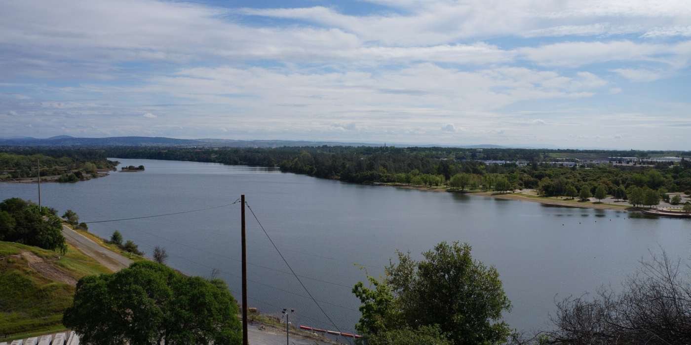
Room to breathe
Thinking About Moving Here?
Moving within the Sacramento region? I can help you sell your current home and buy in Orangevale, timing both sides so you only move once.
Relocating from out of the area or out of state? I coordinate your relocation, working hand in hand with the listing agent selling your current home.
Together we line up closings, dates and logistics, so your move is as seamless and stress-free as possible.
And once you're here, call it Orangevale, shop local and show up at Summer Palooza. You'll fit right in.
Let’s map out your move together
Wherever you’re coming from, I’d love to hear about your plans. Reach out anytime.
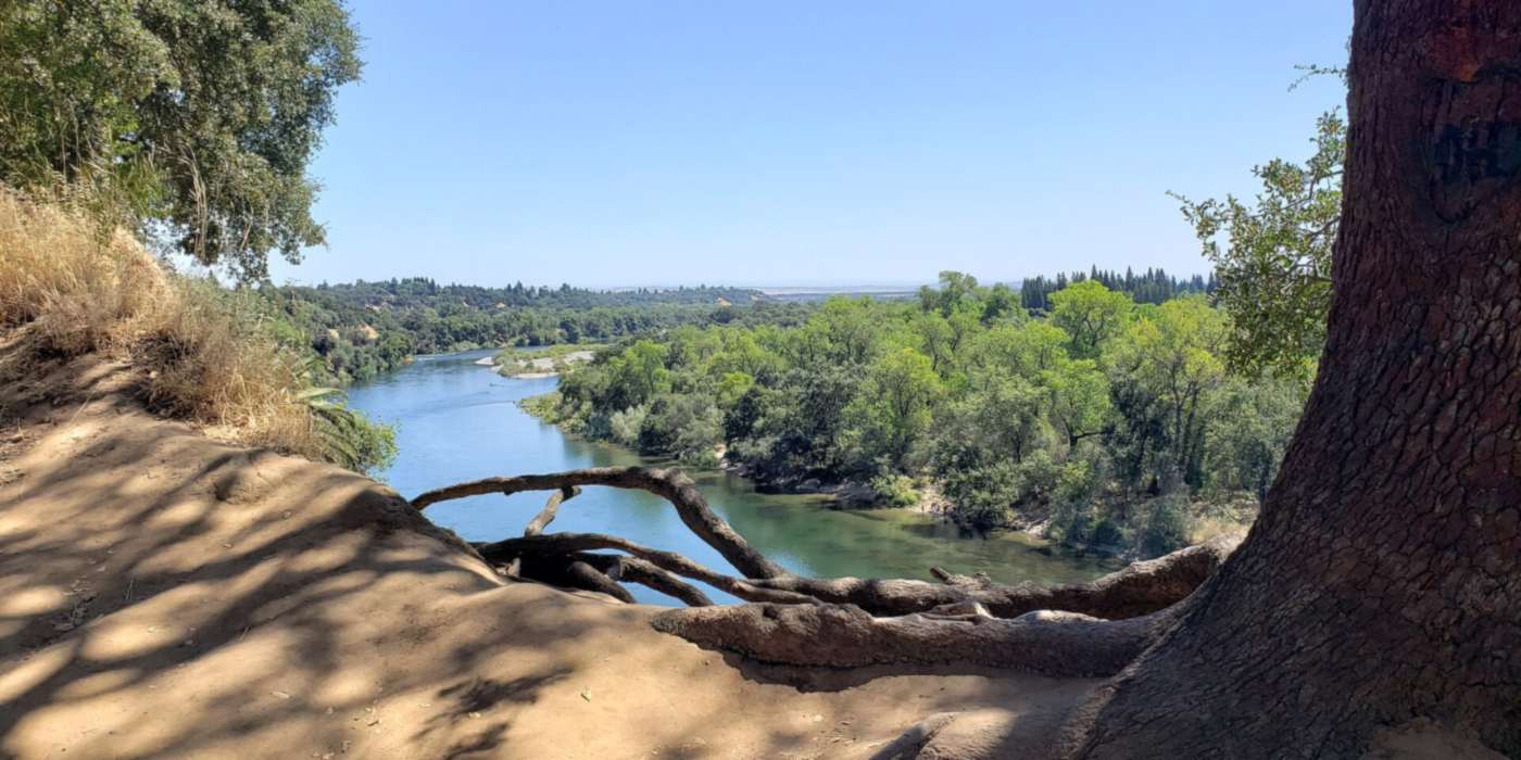
Know the land before you buy
Things Every Buyer Should Know
Unincorporated county services
Orangevale has no city government. Roads, planning and permits run through Sacramento County, and some streets lack continuous sidewalks or streetlights. Ask the county about any planned work near a home you're considering.
Wells, septic & water providers
Water comes from different providers depending on the parcel. Orange Vale Water Company serves central Orangevale, and other districts serve other parts. Some properties have septic systems or private wells.
Septic and well work requires Sacramento County Environmental Management Department permits (Orange Vale Water Co. · Sacramento County EMD septic · EMD wells). Get septic and well inspections as part of your due diligence.
Large lots & horse keeping
Being allowed to keep horses or other animals depends on the parcel's county zoning and lot size. Verify it with Sacramento County rather than trusting a listing. Big lots also mean more upkeep: irrigation, fencing, and clearing dry grass.
Wildfire & insurance
Sacramento County's 2025 fire-hazard maps for unincorporated areas include Moderate, High and Very High zones (Sacramento Metro Fire · CAL FIRE viewer). Check the zone for any address, especially near open space and the lake. Get insurance quotes early, since coverage can be harder to find near wildland areas.
Let's Find Your Place in Orangevale
Maybe you've been in "the Vale" for decades, know every back road, and wonder what your half-acre is worth now, or maybe you're across the country picturing a horse, a garden and a lake down the road.
Either way, I'd love to help you get to know Orangevale street by street.
This guide is for general information only. Figures come from the third-party sources cited and dated above, and they can change. Verify all facts, school assignments and regulations for any specific property.